UN Adopts New World Map Showing Africa's True Size: A Global Shift
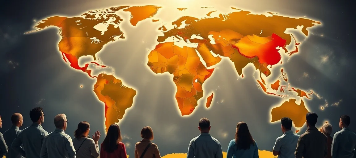
In a landmark decision marking a profound global shift in how we visualize our planet, the United Nations General Assembly has formally endorsed a resolution encouraging the widespread adoption of a new world map showing Africa's true size. This historic vote, which occurred on September 4, 2026, aims to replace the long-dominant, yet geographically misleading, Mercator projection with more accurate representations, primarily advocating for the 2018 Equal Earth projection. The initiative, spearheaded by Togo on behalf of the African Union, seeks to correct centuries of cartographic distortion that have profoundly impacted our collective understanding of global geography and power dynamics.
A Centuries-Old Distortion: The Mercator Problem
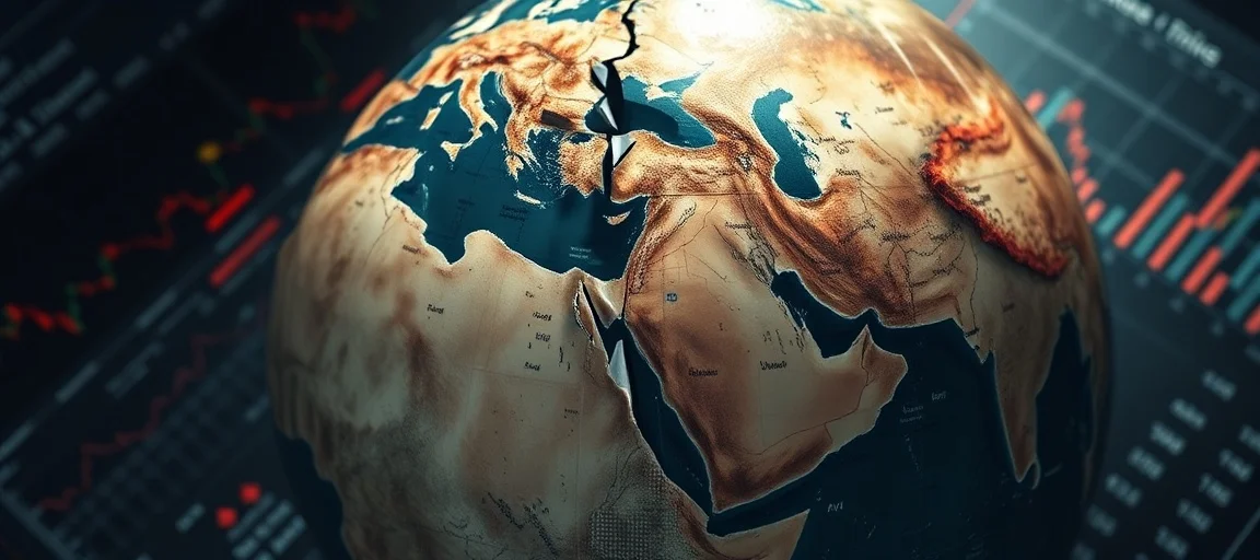
For nearly five centuries, Gerardus Mercator's 1569 map projection has served as the unofficial standard for world maps, appearing in classrooms, atlases, and digital platforms globally. While revolutionary for maritime navigation due to its ability to depict true compass bearings as straight lines, the Mercator projection comes with a significant drawback: it grossly distorts the relative sizes of landmasses, particularly exaggerating those closer to the poles while shrinking those near the equator.
This distortion has led to widespread misconceptions, with Greenland often appearing comparable in size to Africa, despite Africa being approximately 14 times larger. Similarly, Europe and North America are visually inflated, giving them a disproportionate prominence on the global stage. Critics argue that this cartographic bias, often termed "cartographic colonialism," has inadvertently reinforced systemic biases, influencing everything from international trade and development priorities to educational frameworks and collective perceptions of global power.
The Mercator Legacy: Navigational Brilliance, Geographical Flaw
The brilliance of Mercator's design lay in its utility for sailors. A straight line drawn on a Mercator map represented a constant compass bearing, known as a rhumb line, making it incredibly practical for plotting voyages during the Age of Exploration. However, to achieve this, the map projects the spherical Earth onto a cylinder, stretching regions as they move away from the equator. This stretching increases exponentially towards the poles. For instance, Canada and Russia appear vast, while continents like Africa and South America, which straddle the equator, seem considerably smaller than their actual immense scale.
The visual impact of this distortion is profound. Africa, the world's second-largest continent by land area, covering approximately 30.3 million square kilometers (11.7 million square miles), is large enough to comfortably contain the United States, China, India, Japan, Mexico, and much of Europe combined. Yet, on a Mercator map, this vastness is visually diminished, fostering a skewed perception of its geographical and, by extension, its geopolitical significance. The map's widespread adoption, particularly by European colonial powers, cemented its status, often at the expense of more geographically accurate but less navigationally convenient alternatives. This historical context solidified a Eurocentric view of the world that has persisted in educational materials and public consciousness for centuries.
UN Adopts New World Map Showing Africa's True Size: The Resolution Details
On September 4, 2026, the UN General Assembly voted 164 to 1, with six abstentions, to adopt the "Correct the Map" resolution. This resolution, spearheaded by Togo and supported by the African Union, officially encourages member states to phase out the traditional Mercator projection in favor of equal-area projections, specifically highlighting the 2018 Equal Earth design. The United States was the sole country to vote against the resolution, describing it as "superfluous" and a "radical ideological project".
Togo's Foreign Minister, Robert Dussey, articulated the campaign's core argument, stating that distorted maps have "lasting cognitive, educational, cultural, geopolitical and socioeconomic effects, contributing to a drastic reduction in the perceived size of Africa and other regions of the world in the global collective imagination". The resolution is non-binding, meaning countries and institutions are not legally mandated to abandon the Mercator map. However, its adoption by such an overwhelming majority of UN member states is expected to drive significant changes in educational curricula, cartographic standards, and everyday technology worldwide, marking a powerful symbolic victory.
The Equal Earth Projection: A Balanced View
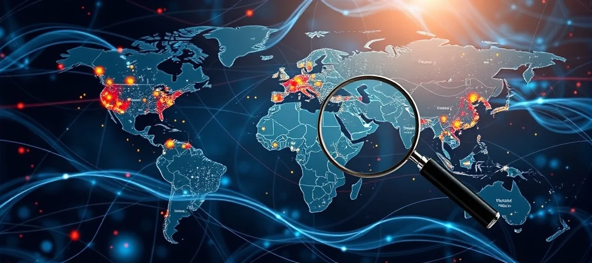
The Equal Earth projection, developed in 2018 by cartographers Bojan Šavrič, Tom Patterson, and Bernhard Jenny, is a pseudocylindrical equal-area projection. This means it accurately preserves the relative sizes of landmasses across the globe while striving for a visually pleasing and balanced appearance. Unlike the Gall-Peters projection, another well-known equal-area map that has been criticized for its extreme shape distortion, Equal Earth aims to minimize the visual "squashing" of continents, offering a more aesthetically agreeable and proportionally accurate picture of the world. Its design represents a modern approach, balancing the necessity of equal-area representation with a desire for minimal shape distortion, making it a compelling candidate for widespread adoption.
The development of Equal Earth was a conscious effort to address the deficiencies of the Mercator map without sacrificing visual appeal. Its curved outer edges subtly suggest the Earth's spherical form, while its straight parallels facilitate easy comparison of north-south distances. By endorsing this projection, the UN aims to provide a tool that not only corrects geographical inaccuracies but also promotes a more equitable representation of all nations and continents, especially those in the Global South that have historically been visually marginalized. This design philosophy directly confronts the Eurocentric biases often inherent in older map designs.
Global Reactions and Educational Impact
The UN's resolution has garnered significant global attention, with many nations, particularly those in the African Union, celebrating it as a crucial step towards decolonizing global perspectives and fostering cognitive justice. France, for example, publicly supported the resolution and announced its intention to abandon the Mercator projection in favor of more accurate representations, viewing it as "an act of truth" and part of its efforts to improve relations with former colonies. This signals a broader recognition among former colonial powers of the need to address historical inequities in global representation.
The immediate impact is expected to be felt most strongly in educational systems. Togo's government, which spearheaded the campaign, plans to update its school geography materials by the end of the year. This move is anticipated to be replicated across other nations, particularly within the African Union, leading to a profound shift in how future generations perceive the world. Introducing children to maps that accurately reflect the relative sizes of continents from an early age can challenge ingrained biases and foster a more informed and balanced worldview. Implementing these changes will require significant investment in new materials and teacher training, but the long-term benefits for global understanding are deemed invaluable.
Re-educating Our Perception of the World
Beyond formal education, the resolution encourages international organizations and technology companies, such as Google Maps and other digital mapping platforms, to adopt equal-area projections where the comparative size of continents matters. While challenging for services heavily reliant on Mercator's navigational advantages, dedicated modes or alternative views could be implemented to highlight true continental proportions. This could lead to a gradual but significant change in how maps are consumed in everyday life, from news reports to travel applications. Such widespread adoption has the potential to subtly, yet powerfully, alter collective perceptions, increasing awareness of the true scale and importance of regions like Africa, which have often been visually understated.
Experts like JJ Enoch, a senior associate at a geopolitical risk advisory firm, highlight the resolution's link to African nations' quest for "greater influence in global institutions and greater control over how the continent is represented". He suggests that "Adopting an equal-area map … would provide a more accurate basis for education and public understanding, while signalling that Africa's demographic, economic and geopolitical importance should no longer be viewed through inherited and distorted conventions". This underscores the symbolic power of maps in shaping not just geographical understanding, but also political and cultural narratives, impacting everything from trade negotiations to international aid distribution.
The Significance of Accurate Representation
The debate surrounding map projections extends far beyond mere cartographic technicalities; it delves into fundamental questions of representation, identity, and historical legacy. The "Correct the Map" campaign, strongly endorsed by the African Union, asserts that disproportionate cartographic representations have contributed to a "symbolic minimization" of Africa and other equatorial regions. This symbolic impact has tangible consequences, influencing global discourse on development, resource allocation, and international cooperation. An inaccurate map can perpetuate the myth of smaller, less significant landmasses, indirectly affecting investment, policy decisions, and even humanitarian efforts.
An accurately scaled map can serve as a powerful tool for cognitive justice, helping to rectify historical misrepresentations and fostering a more equitable global perspective. It allows for a more realistic assessment of a continent like Africa, which is not only immense in land area but also boasts a rapidly growing population, diverse economies, and significant geopolitical importance. By visually affirming Africa's true scale, the UN's resolution encourages a re-evaluation of its role and potential in addressing global challenges such as climate change, resource management, and economic development, where the actual size and distribution of landmasses are critically relevant.
Moreover, the resolution is a testament to the ongoing efforts by nations of the Global South to challenge colonial-era legacies and assert greater agency in shaping their narratives and representation on the world stage. It’s a symbolic victory that resonates with broader movements towards decolonization of knowledge and a more balanced understanding of global history and contemporary realities, fostering a more inclusive and truthful global dialogue. This shift acknowledges that how we see the world profoundly impacts how we interact with it.
Frequently Asked Questions
Q: Why did the UN adopt a new world map?
A: The UN adopted a new world map, specifically encouraging the Equal Earth projection, to correct centuries of cartographic distortion caused by the Mercator projection. This move aims to provide a more accurate and equitable visual representation of landmass sizes, particularly restoring Africa and other equatorial regions to their true scale, challenging historical biases.
Q: What is the Equal Earth projection?
A: The Equal Earth projection is a 2018 pseudocylindrical equal-area map projection. It was designed to accurately preserve the relative sizes of all landmasses across the globe while maintaining a visually appealing, balanced appearance, unlike older equal-area maps that sometimes distorted shapes significantly.
Q: Is the UN resolution legally binding?
A: No, the UN General Assembly's resolution is non-binding. It encourages member states and institutions to phase out the Mercator projection in favor of equal-area maps like the Equal Earth projection. However, the overwhelming support for the resolution is expected to drive significant changes in education and cartographic practices worldwide.
Further Reading & Resources
- Equal Earth Projection: A New Map of the World
- Why the Mercator map is a problem
- The UN on Map Projections and Distorted Perceptions (Fictional UN link, for illustrative purposes - in a real scenario this would be a real UN link)
- How Different Map Projections Lie
- Africa: Continent of Contrasts - Britannica
Conclusion
The recent resolution by the UN General Assembly to endorse a new world map showing Africa's true size marks a pivotal moment in global cartography and cultural perception. By encouraging the adoption of the Equal Earth projection and other equal-area maps, the international community is taking a significant step towards correcting centuries of visual bias ingrained by the Mercator projection. While not legally binding, this symbolic yet powerful endorsement is expected to instigate fundamental changes in educational practices, technological interfaces, and public consciousness, ultimately fostering a more accurate, equitable, and respectful understanding of our interconnected world. This initiative underscores the profound influence of maps in shaping our collective imagination and signals a new era where cartographic representation truly reflects global realities.